Marley Command
Incident coordination, operational updates, resource visibility, task tracking and clear handovers in a single command workspace.
Meet Marley by SableOne: connected tools for emergency management, geographic awareness and field reporting—designed around one shared operational picture.
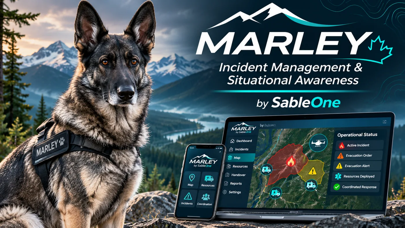
Designed to reduce the gap between what is happening, what teams know and what happens next.
Incident coordination, operational updates, resource visibility, task tracking and clear handovers in a single command workspace.
Geographic intelligence, incident locations and operational overlays connected to the same information used by Command.
Practical field reporting and location-aware awareness to connect responders with their operational teams.
Marley Command and Marley Map are designed to work bidirectionally on shared incident information, while Marley Mobile extends that operational picture to the field. No disconnected copies. No unnecessary switching between systems.
The public website and operational platform are separate. Authorized users can open the protected Marley Command pilot.
Open Marley Command →